
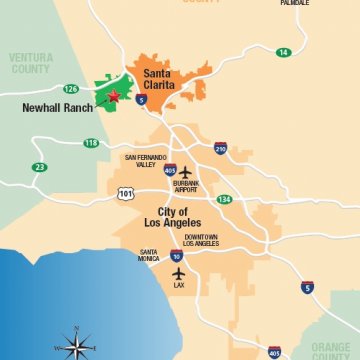
Newhall Ranch is the largest master-planned development in North America, including roughly 21,500 units situated on 14,000 acres. The project, located in northern Los Angeles County, will implement a Net Zero program, reducing or mitigating all net greenhouse gas emissions from the project and its construction to zero, by incorporating innovative green building practices, and protecting roughly 10,000 acres of open space.
To maintain the scenic history of this rugged site while developing buildable mixed-use areas, the Newhall Ranch development will initially be concentrated within five Villages (Landmark, Entrada, Potrero, Mission, Legacy, and Homestead), which will raise or lower existing terrain by up to 150 feet, and at buildout will involve an estimated earthwork volume of roughly 250 million cubic yards.
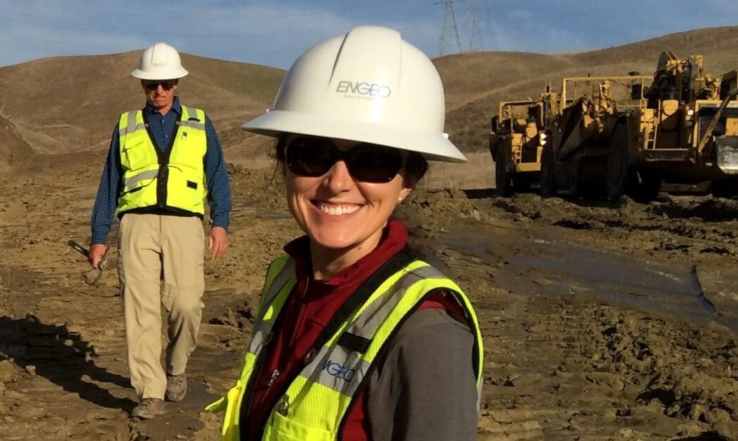
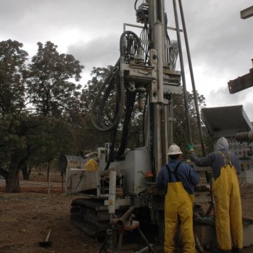
ENGEO is providing comprehensive services, such as geotechnical engineering, environmental engineering, geologic engineering, materials testing and inspection, and water resources engineering, throughout the active design and construction phases of Newhall Ranch. During construction, we provide geotechnical design and field services including SWPPP services. Our GIS portal, created for design and construction is also utilized for construction progress tracking.
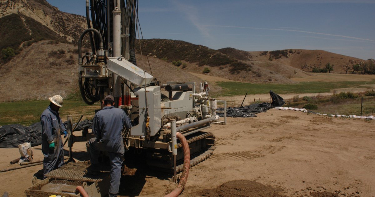
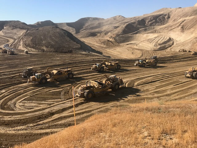
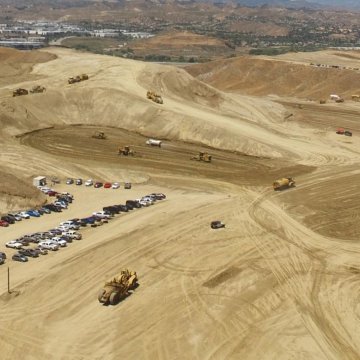
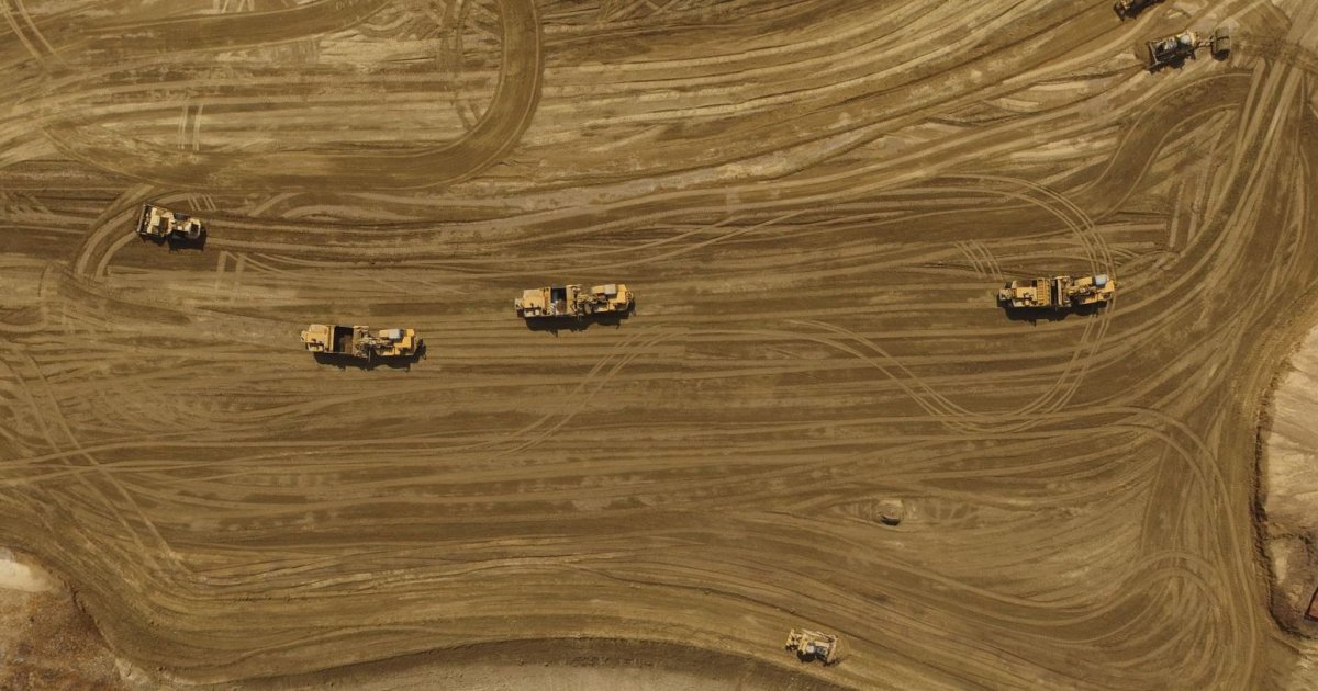
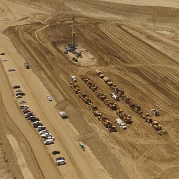
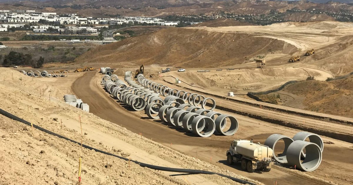

We developed a project–specific GIS platform to spatially depict, coordinate, and track the design and development plans and data for over 20,000 acres. By utilizing GIS to depict existing and future infrastructure, land management for past and present land uses(such as farming and past oil field activities), and land development (including pipelines, bridges, and buildable pads), effective tracking and planning become possible. During construction to date, which included 46 million cubic yards of earthwork, we developed the GIS platform to track grading schedule and volumes on a weekly basis, coordinated with UAV drone scans, and we completed a 1,200-acre area. By tracking earthwork volumes utilizing weekly site topography, the project team was able to understand and plan the construction schedule and site balance using real-time site data through our GIS platform.